Bulk Scoring & API
Process thousands of coordinates via CSV upload or integrate real-time spatial data through our RESTful API
How It Works

1. Upload Coordinates
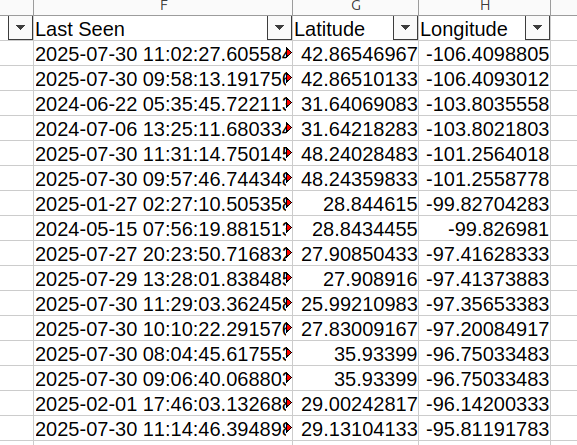
Upload CSV files with up to 10 million latitude/longitude coordinate pairs

2. Query Terabyte Maps
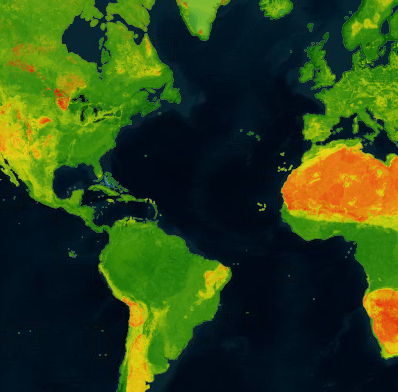
Process against gigabyte and terabyte-sized environmental datasets

3. Scored Datasets
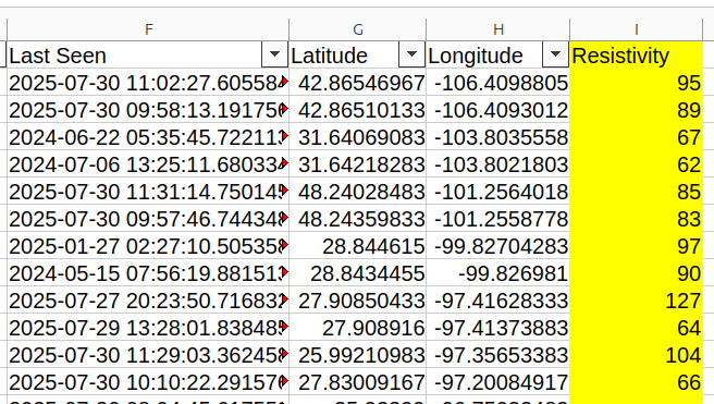
Generate comprehensive environmental and corrosion scoring for each coordinate

4. ML & Analytics Ready
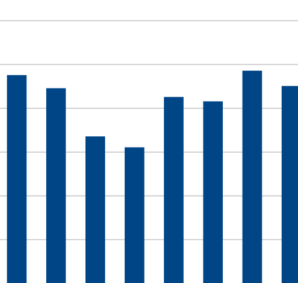
Download structured data perfect for machine learning, predictive modeling, and business intelligence
Technical Specifications
Bulk CSV Processing
- Upload CSV files with up to 10 million coordinate pairs
- Automatic data validation and coordinate verification
- Process against terabyte-scale environmental datasets
- Email notification with downloadable results
- Complete audit trail and processing history
Real-time API Access
- RESTful API with secure token authentication
- Single-point coordinate queries with sub-second response
- JSON responses with comprehensive spatial data
- Rate limiting and usage monitoring
- Global coordinate system support (WGS84)
ISO9223 Corrosion Intelligence
- Standards-compliant corrosivity classification algorithms
- Multi-substrate material compatibility scoring
- Environmental factor integration (temperature, humidity, salinity)
- Predictive corrosion rate calculations in μm/year
- Risk assessment and material recommendation engine
Enterprise Integration
- Programmatic integration with existing workflows
- Credit-based usage tracking and management
- Multi-user access controls and permissions
- High-availability infrastructure with 99.9% uptime
- Comprehensive logging and monitoring
RESTful API Integration
API Example: Single Point Query
Query spatial corrosion data for any global coordinate using our secure RESTful API:
HTTP GET Request:
GET /api/bundles/{bundle_slug}/point_query?latitude=40.7128&longitude=-74.0060&token=your_api_key
JSON Response:
{
  "bundle_name": "Spatial Data Analysis",
  "coordinates": {
    "latitude": 40.7128,
    "longitude": -74.0060
  },
  "rasters": [
    {
      "raster_name": "Steel Corrosion Rate",
      "units": "μm/year",
      "primary_value": 12.5,
      "raw_value_numeric": 12.5,
      "all_secondary_scores": [
        {
          "name": "Corrosivity Category",
          "value": "C2",
          "interpretation": "Low corrosivity"
        }
      ]
    }
  ]
}
Key Features:
- Secure token-based authentication
- Sub-second response times globally
- Comprehensive material scoring
- Standards-compliant spatial data
Rate Limits & Usage:
- 30 requests/minute standard rate
- Credit-based usage tracking
- Unlimited plans available
- 99.9% uptime SLA
Industry Applications
Infrastructure & Construction
- Site selection analysis for major infrastructure projects
- Material specification across diverse geographic regions
- Construction timeline risk assessment based on environmental factors
- Portfolio-wide asset vulnerability mapping
Energy & Utilities
- Pipeline route optimization and corrosion risk analysis
- Power transmission infrastructure protection strategies
- Renewable energy installation site assessment
- Grid asset lifecycle planning and maintenance scheduling
Transportation Networks
- Railway and highway infrastructure corrosion assessment
- Bridge and tunnel structural monitoring site selection
- Port and maritime facility protection planning
- Fleet deployment and maintenance optimization
Software & Systems Integration
- Real-time corrosion data integration in engineering software
- Automated material selection in CAD/design workflows
- Environmental data enrichment for asset management systems
- Custom dashboard development with live spatial data feeds